"Ventoux is a god of evil to whom sacrifice must be paid.
It is a true Moloch, a despot of cyclists. It never pardons the weak and exacts an unjust tribute of suffering.”
Roland Barthes
French philosopher
Intro
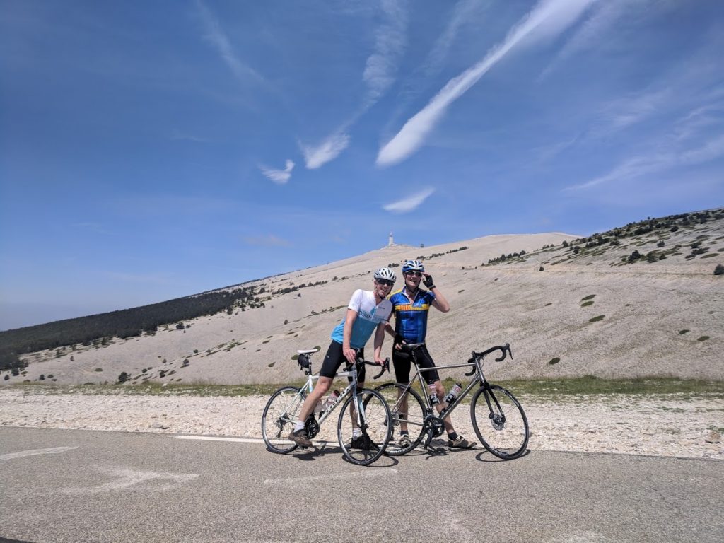
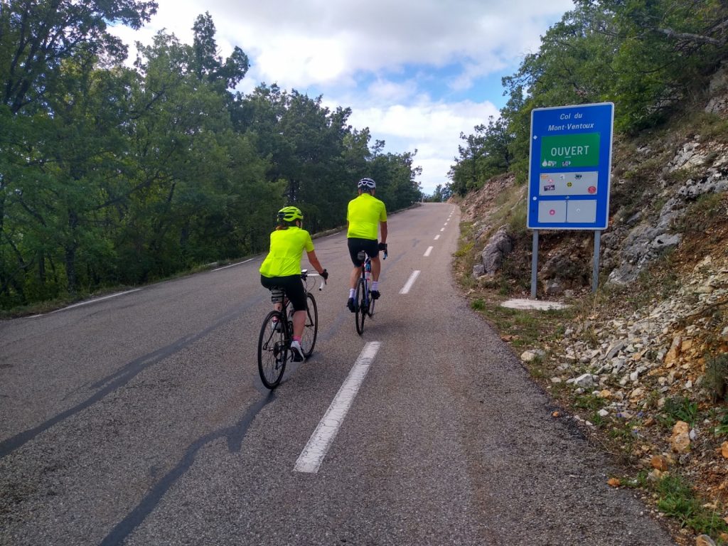
Mont Ventoux is the most famous mountain in cycling. It is a magnet for cyclists from all over the world who want to challenge themselves on the mountain’s iconic slopes. Cyclists ride up to pay tribute to British cyclist Tom Simpson who lost his life to the mountain in the 1967 Tour de France. There is a monument to Tom 1km fom the summit where cyclists leave small tokens of their admiration. The fasted recorded time of 55m 51s was by Iban Mayo in the Critérium du Dauphiné Libéré time trial in 2004. Probably more impressive was Charly Gaul who managed 1h 2m in the 1958 Tour de France. Modern pros still climb the mountain in about an hour and budding amateurs in less than 2 hours. There are three classic road ascents of the mountain from Bedoin, Malaucene and Sault. The Bedoin ascent is slightly harder than the Malaucene ascent and the Sault ascent is the easiest. All three ascents are described in detail below.
The Bedoin Ascent
The ascent from Bedoin is the classic way up the mountain. The length of the climb from Bedoin at 300m above sea level to the summit at 1910m is 21.5km . This gives an elevation of 1612m and an average gradient of 7.5%. This doesn’t sound too bad but when you break the climb down into its 3 obvious sections it paints a different picture.
From Bedoin at 300m it is 5.5km to St. Esteve at 541m. This gives an elevation of 241m and an average gradient of just 4.4%.
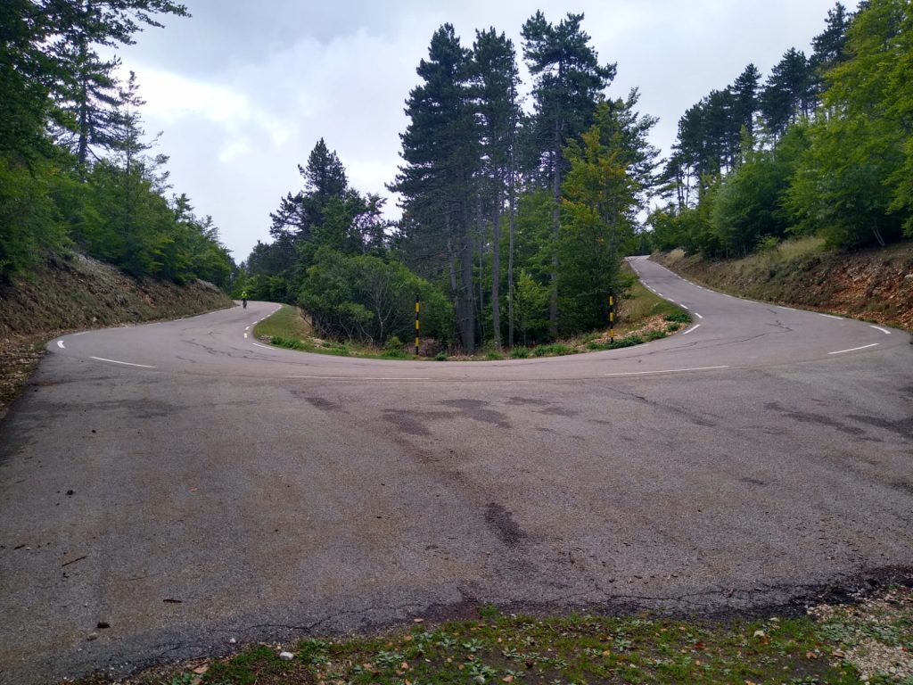
So why the bad reputation? Well, the next section, the infamous forest has the answer. From St. Esteve at 541m it is 9.5km to Chalet Reynard at 1417m. This gives an average gradient of over 9% for the whole of this section. It is also worth remembering that this 9% is not constant as there are a few sections as low a 7% and many over 11% and 12%.
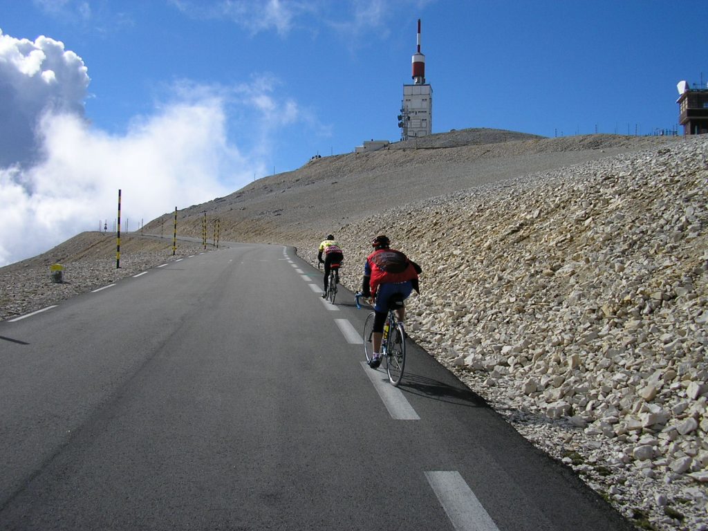
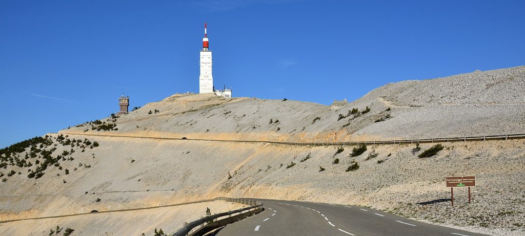
The next 4km from Chalet Reynard are much easier than the forest section but also much more exposed and weather dependent. This section has the reputation of being very windy. However it works both ways and quite often a nice tail wind will help you to the top. As you leave Chalet Reynard you have a short steep section but as you round the first bend there is a noticeable drop in gradient with an average of approximately 7% for the next 4.5km. If you are very lucky you will have a tail wind and it will be possible to fly up this part of the climb. If you are unlucky you will be battling into the wind all the way to the top and it will feel like 12% again. The last 1500m from the Simpson Memorial is steep again at 10% but by this time you won’t really care because glory is in sight.
Distance
21.4km
Elevation
1600m
Difficulty
average 7.5% Max 12.9%
The Malaucene ascent
Starting in Malaucene at 360m you have approximately 1.5km of a gentle warm up then as you pass the cafe on the right of the road at The Groseau the road steepens to over 9% for 2km to 500m. Here you get some respite with a nice section of 3, 4, 5 and 6% gradients up until the 10km point.
Here it kicks and the gradient once again goes over 10% (with some 12%) for 4km – a killer section! This is a very hard part of the climb, as you pass the water tank and the concrete shed the road swings right then left then you can see straight ahead for a kilometre at over 10%. The road then twists slightly at a layby then a welcome rest section of an almost flat kilometre as you pass the mini roundabout and the cafe at Chalet Liotard.
0.75km of steep climbing then a sharp hairpin left leads to a nice long 6 and 7% section with the steep ski pistes dropping down to your left. As you leave the trees you are greeted with a fantastic view of the tower still 250m above your head. The last two hairpins steepen again with magnificent views to the North where on a clear day the Alps form a fantastic backdrop.
Distance
21.1km
Elevation
1583m
Difficulty
Average 7.5% Max 12.7%
The Sault Ascent
The ascent from Sault is the easiest of the 3 popular ascents. There are two reasons for this. First the elevation is much less because the start of the ascent from Sault is at a height of 694m. Secondly, the overall distance is longer than the other two at 26km. This means that the first 20km of the climb from Sault at 694m to Chalet Reynard at 1417m with a total elevation of 723m, has an average gradient of just 3.6%. You still need to climb the last 6km from Chalet Reynard to the summit but you arrive at Chalet Reynard in much better condition than if you have just slogged up through the forest from Bedoin.
After a short descent out of Sault you start the climb up through the lavender fields then a few short sharp sections lead up into the forest from where it becomes a bit of a boring haul.
The road then sweeps left at 1263m where a gentle section trends south to the viewpoint and belvedere at 1327m. From here to Chalet Reynard the gradient is very gentle and the last 2km are almost flat. The last 6km from Chalet Reynard are exactly the same as the Bedoin route. It is a section that is very exposed and weather dependent and has the reputation of being very windy. On leaving Chalet Reynard there is a short steep section but rounding the first bend you notice a significant drop in gradient with an average of approximately 7% for the next 4.5km. The last part from the Simpson Memorial rears up again and the last 1500 metres are at an average of 10% gradient.