
Cycling Mont ventoux
Everything you need to know before tackling the Giant of Provence.
Intro
Mont Ventoux is one of the most famous mountains in cycling and a pilgrimage for riders from around the world. Every year, thousands of cyclists come to test themselves on its iconic slopes and experience one of the sport’s greatest challenges.
Many riders also stop at the memorial to British cyclist Tom Simpson, who tragically lost his life during the 1967 Tour de France. Located around one kilometre from the summit on the Bédoin ascent, the monument has become a place of remembrance where cyclists leave small tokens in tribute.
The fastest recorded ascent of Mont Ventoux is now held by Tadej Pogačar, who climbed from Bédoin in an astonishing 54 minutes 31 seconds during the 2025 Tour de France. The fastest female ascent was set in August 2026 by Katarzyna Niewiadoma-Phinney during Stage 7 of the Tour de France Femmes avec Zwift, when she climbed the traditional 20.74 km Bédoin route in 1 hour, 6 minutes and 2 seconds. Before Pogačar’s record, Iban Mayo’s 2004 time stood for over two decades. One of the most remarkable rides, however, remains Charly Gaul’s ascent in the 1958 Tour de France, when he reached the summit in just over an hour on the far heavier equipment of the era. Today’s professional riders still climb Ventoux in around an hour, while strong amateur cyclists typically complete the ascent in under two hours.
The Bedoin Ascent
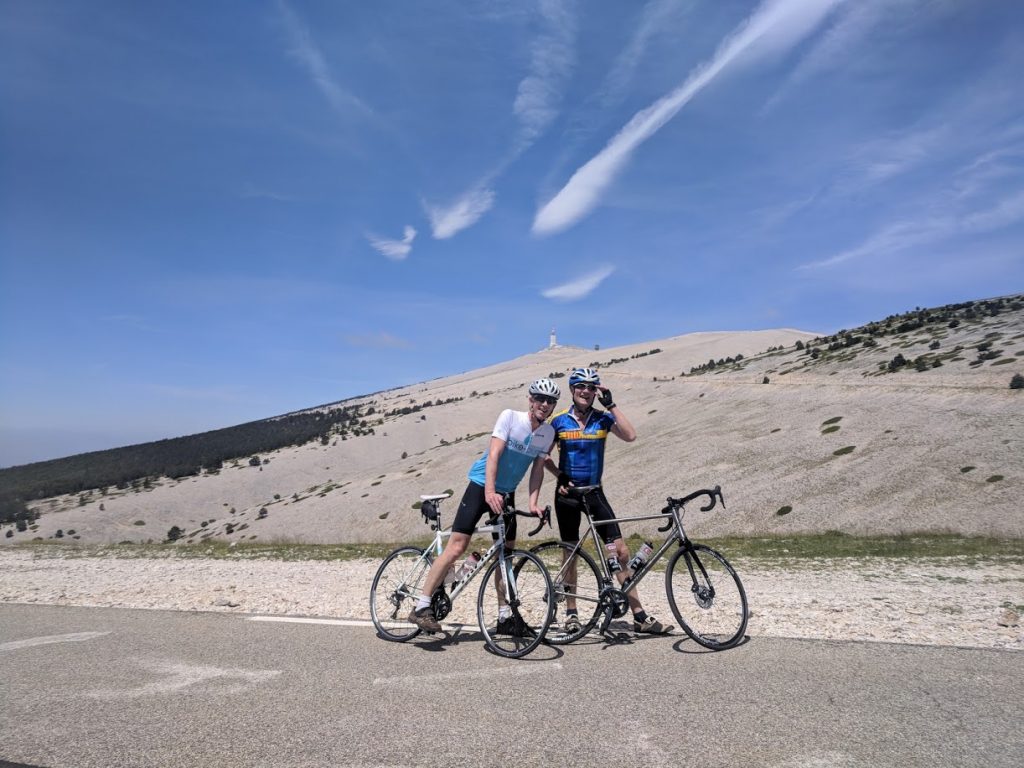
The ascent from Bédoin is the most famous and challenging way to reach the summit of Mont Ventoux. Starting at around 300 metres above sea level, the climb covers 21.5 km, gaining 1,610 metres at an average gradient of 7.5%. On paper, those numbers may not seem too intimidating, but the mountain tells a different story.
The climb naturally divides into three distinct sections.
The opening 5.5 km from Bédoin to Saint-Estève is relatively gentle, climbing 241 metres at an average gradient of just 4.4%. It’s the perfect opportunity to settle into a rhythm before the real challenge begins.
From Saint-Estève, the road enters the famous forest, where Mont Ventoux earns its fearsome reputation. The next 9.5 km to Chalet Reynard gain almost 900 metres, averaging just over 9%. In reality, the gradient rarely feels consistent. There are occasional stretches at around 7%, but much of the climb pitches up to 11% and even 12%, offering little respite as you grind your way through the trees.
Beyond Chalet Reynard, the character of the climb changes completely. The next 4.5 km are less steep than the forest, averaging around 7%, but they are also far more exposed to the elements. This barren, lunar landscape is where Mont Ventoux’s reputation for fierce winds comes from.
The road kicks up briefly as you leave Chalet Reynard before easing as it winds across the open mountainside. On a good day, a welcome tailwind can make this section feel surprisingly manageable. On a bad day, you’ll be battling a relentless headwind that can make the gradients feel every bit as punishing as the forest below.
The final 1.5 km, from the Tom Simpson Memorial to the summit, steepen once more to around 10%. By this point, however, the famous weather station is in sight and the knowledge that you’ve almost reached the summit is all the motivation you’ll need.
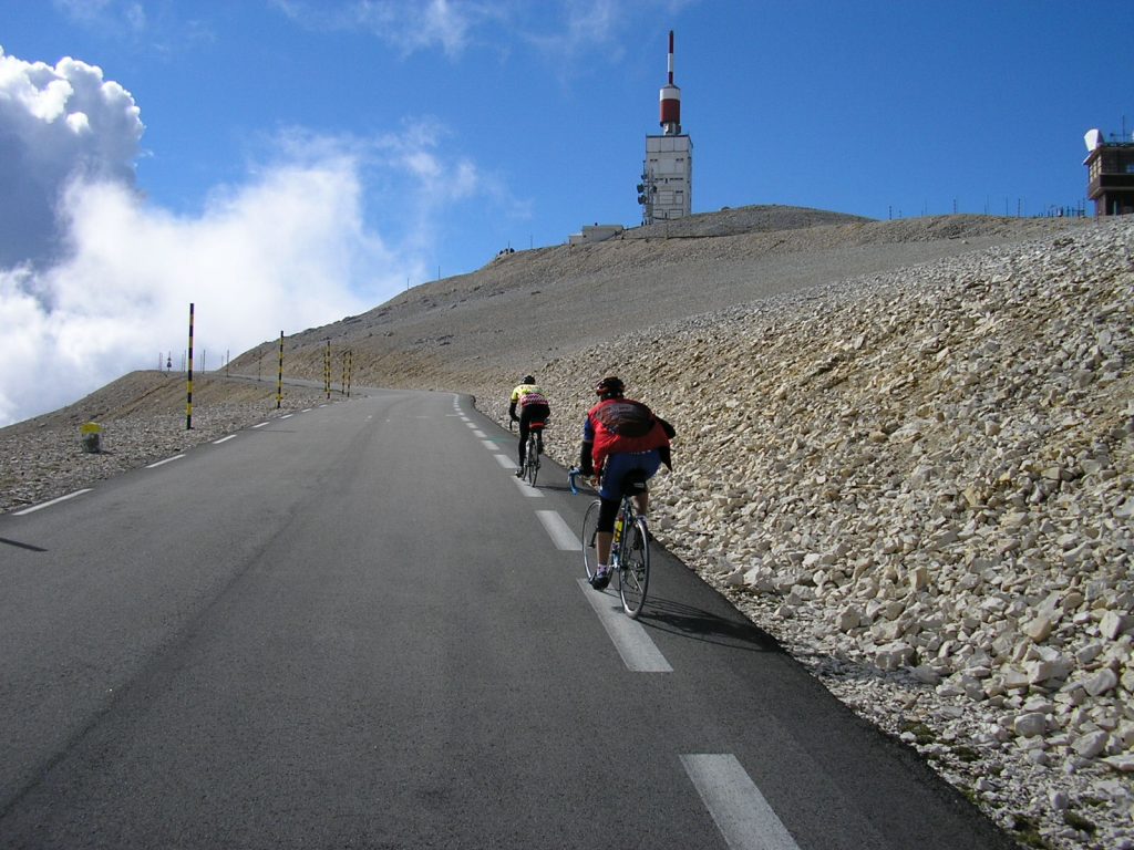
Distance
21.4km
Elevation
1600m
Difficulty
average 7.5%
Max 12.9%
The Malaucene Ascent
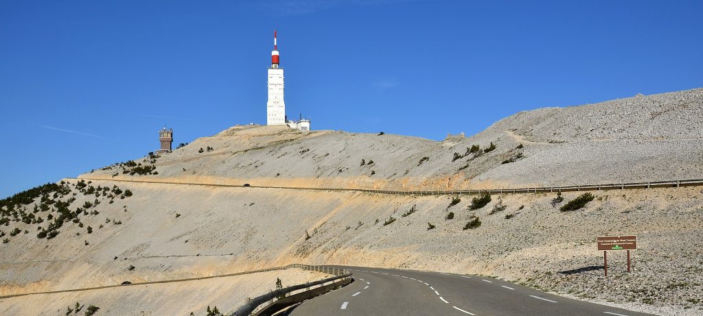
Starting in Malaucène at 360 metres above sea level, the climb begins with around 1.5 km of gentle riding before the road reaches Le Groseau. As you pass the café on the right, the real climbing begins, with gradients immediately rising above 9% for the next 2 km.
Fortunately, the road then eases, offering a welcome stretch of 3–6% gradients through the forest until around the 10 km mark. It’s an ideal opportunity to recover before the toughest part of the ascent.
From here, the climb becomes relentless. For the next 4 km, the road averages well over 10%, with several ramps reaching 12%. This is arguably the hardest section of the Malaucène ascent. As you pass the water reservoir and the small concrete shelter, the road bends right, then left, revealing a seemingly endless straight climbing at double-digit gradients. It’s a section that tests both legs and determination.
Eventually, the road twists through a lay-by before reaching a welcome kilometre of almost flat road. This brief respite takes you past the mini roundabout and Chalet Liotard, offering one last chance to recover before the final push to the summit.
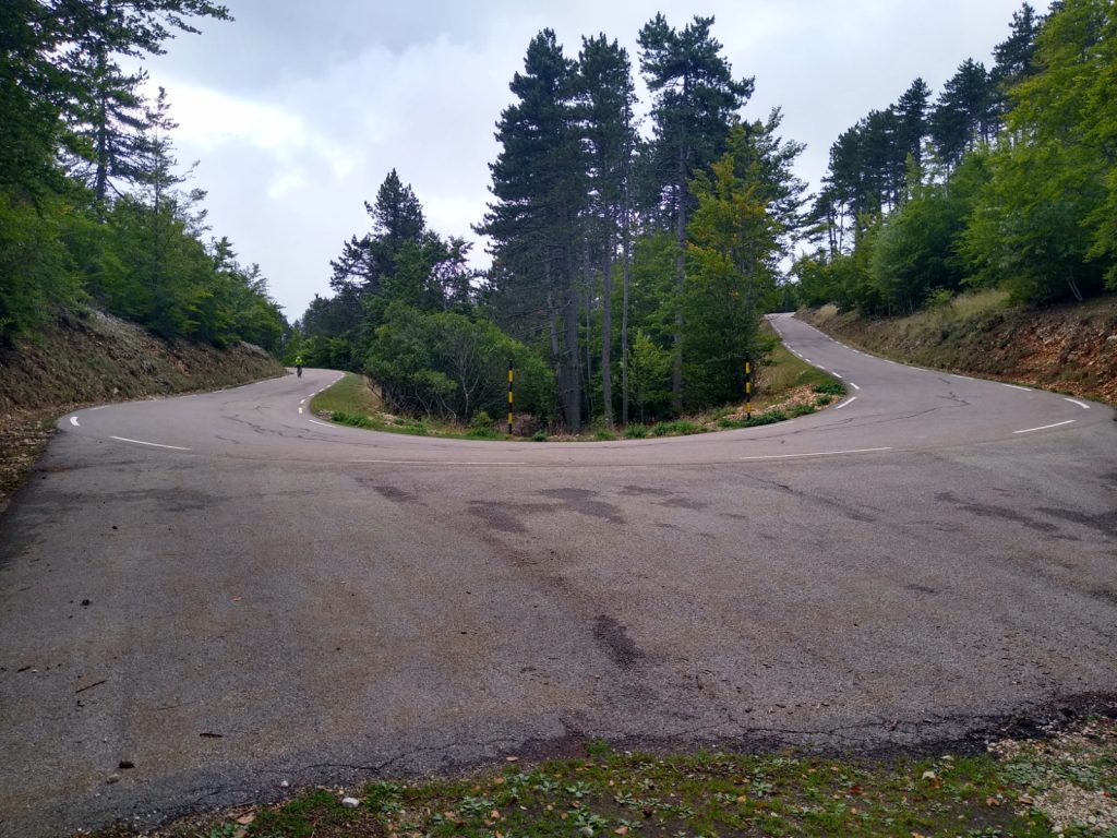
After the respite at Chalet Liotard, the climb soon ramps up again. Around 750 metres of steep climbing lead to a sharp left-hand hairpin, after which the gradient settles into a more comfortable 6–7%. Here the scenery changes dramatically, with the steep ski pistes dropping away on your left as the road winds towards the summit.
As you emerge from the forest, you’re rewarded with your first uninterrupted view of the famous summit weather station, still around 250 metres above. The final two hairpins steepen once more, but the spectacular panorama to the north provides a welcome distraction. On a clear day, the snow-capped Alps stretch across the horizon, providing one of the finest views in Provence before the final push to the summit.
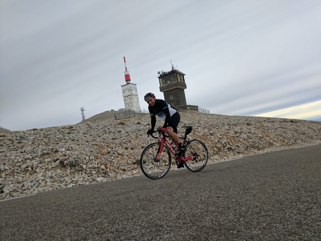
Distance
21.1km
Elevation
1583m
Difficulty
Average 7.5%
Max 12.7%
The Sault Ascent
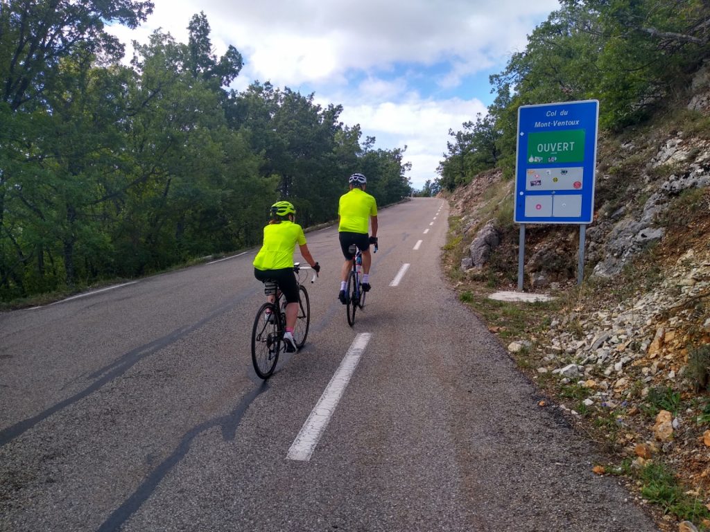
The ascent from Sault is the gentlest of Mont Ventoux’s three classic climbs. There are two reasons for this. Firstly, Sault sits at around 700 metres above sea level, so there is significantly less climbing to reach the summit. Secondly, although the route is the longest at 26 km, the extra distance keeps the gradients relatively forgiving.
The first 20 km, from Sault (694 m) to Chalet Reynard (1,417 m), gain around 723 metres at an average gradient of just 3.6%. The road climbs steadily through fragrant pine forests and lavender country, making it a pleasant and scenic ascent that allows you to find a comfortable rhythm.
The final 6 km are shared with the Bédoin ascent, so you’ll still have to tackle the exposed upper slopes of Ventoux and the final climb to the summit. The difference is that you’ll arrive at Chalet Reynard feeling far fresher than riders who have just battled through the relentless forest from Bédoin, leaving more in reserve for the mountain’s famous finale.
After a short descent out of Sault, the climb begins gently through the surrounding lavender fields before a series of short, steeper ramps lead into the forest. Once under the trees, the gradient settles and the road climbs steadily for several kilometres. It’s not the most dramatic part of the ascent, but it allows you to find a comfortable rhythm and spin your way towards Chalet Reynard.
At around 1,260 metres, the road sweeps left before a gentle section heads south towards the Belvédère viewpoint at 1,327 metres. From here the gradients ease even further, and the final 2 km to Chalet Reynard are almost flat, giving you a welcome opportunity to recover before the final ascent.
Distance
25.6km
Elevation
1216m
Gradient
Average 4.5%
Max 12.9%